This event has passed.
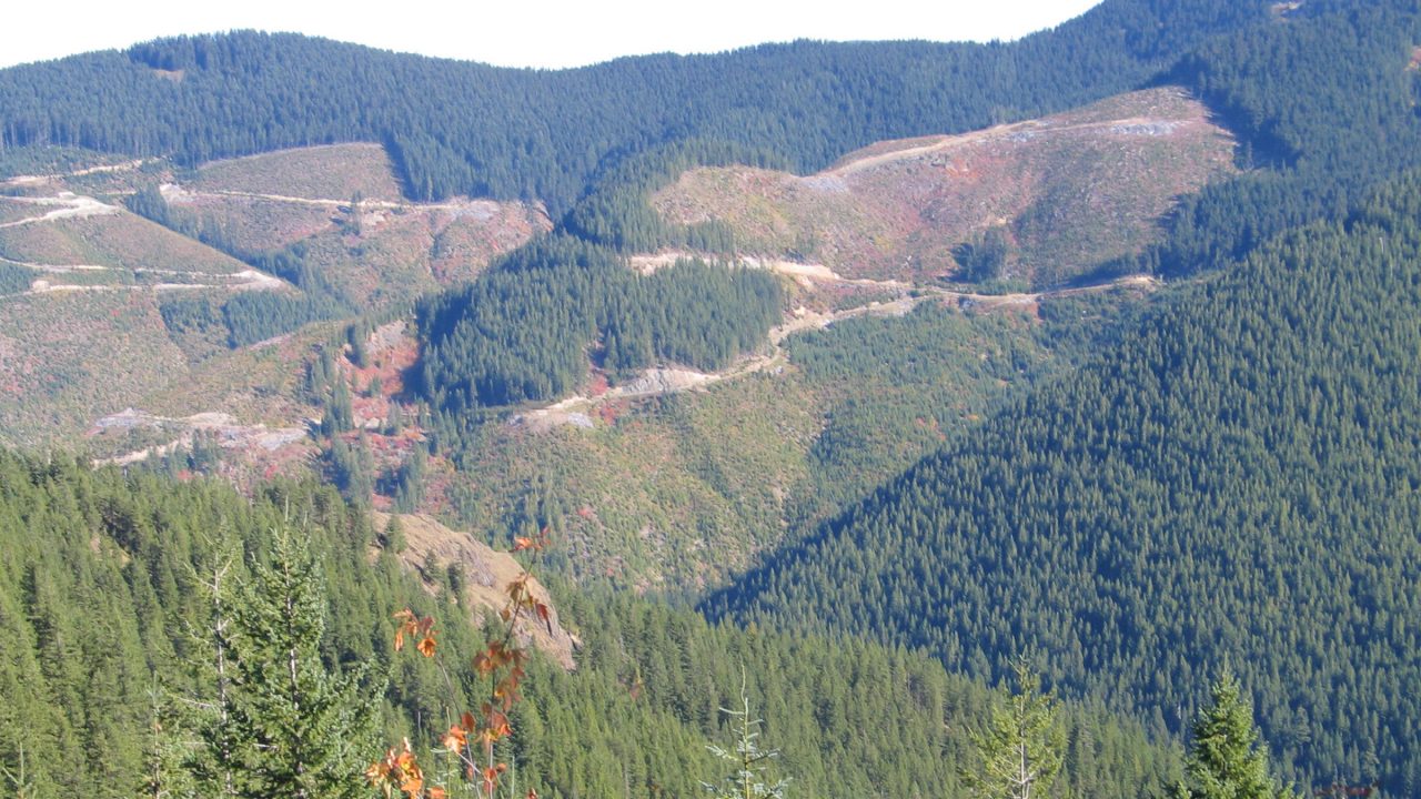
How did Northwest land end up in a checkerboard of land use?
Grants to the Northern Pacific Railroad in the 19th century set up a pattern of public and private lands that placed homesteads, towns, tree farms, and federal forest reserves intermingled with each other, all defined by railroad tracks.
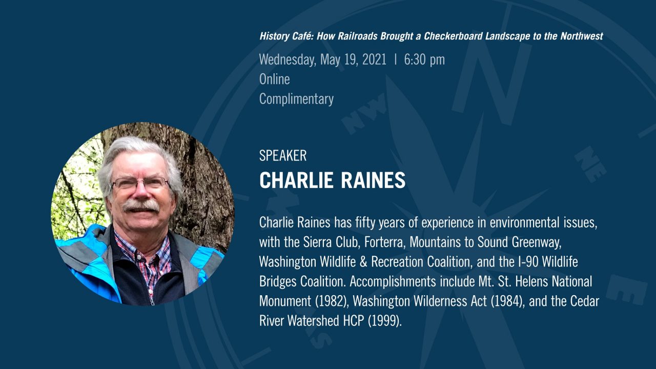
Join Charlie Raines, Director of the Sierra Club Cascade Checkerboard Project, as he shares newly created maps that show the pattern from Puget Sound to the Columbia River as it evolved over 150 years.
History Café is produced as a partnership between MOHAI and HistoryLink.
Detailed information on how to participate will be provided via email following your registration. Space is limited, so register soon!
Real-time, automated captioning is available during the program. For additional support, contact programs@mohai.org.
As a catalyst for relevant community conversation, MOHAI’s public programs include a diverse range of speakers and perspectives related to life in our region, past and present. In presenting this program MOHAI does not endorse or advocate any specific policies represented by the speakers, their organizations, or the co-presenters.
Location: Online
Cost: Free